
This challenge is made of two tasks:
Eye on the Sky 2
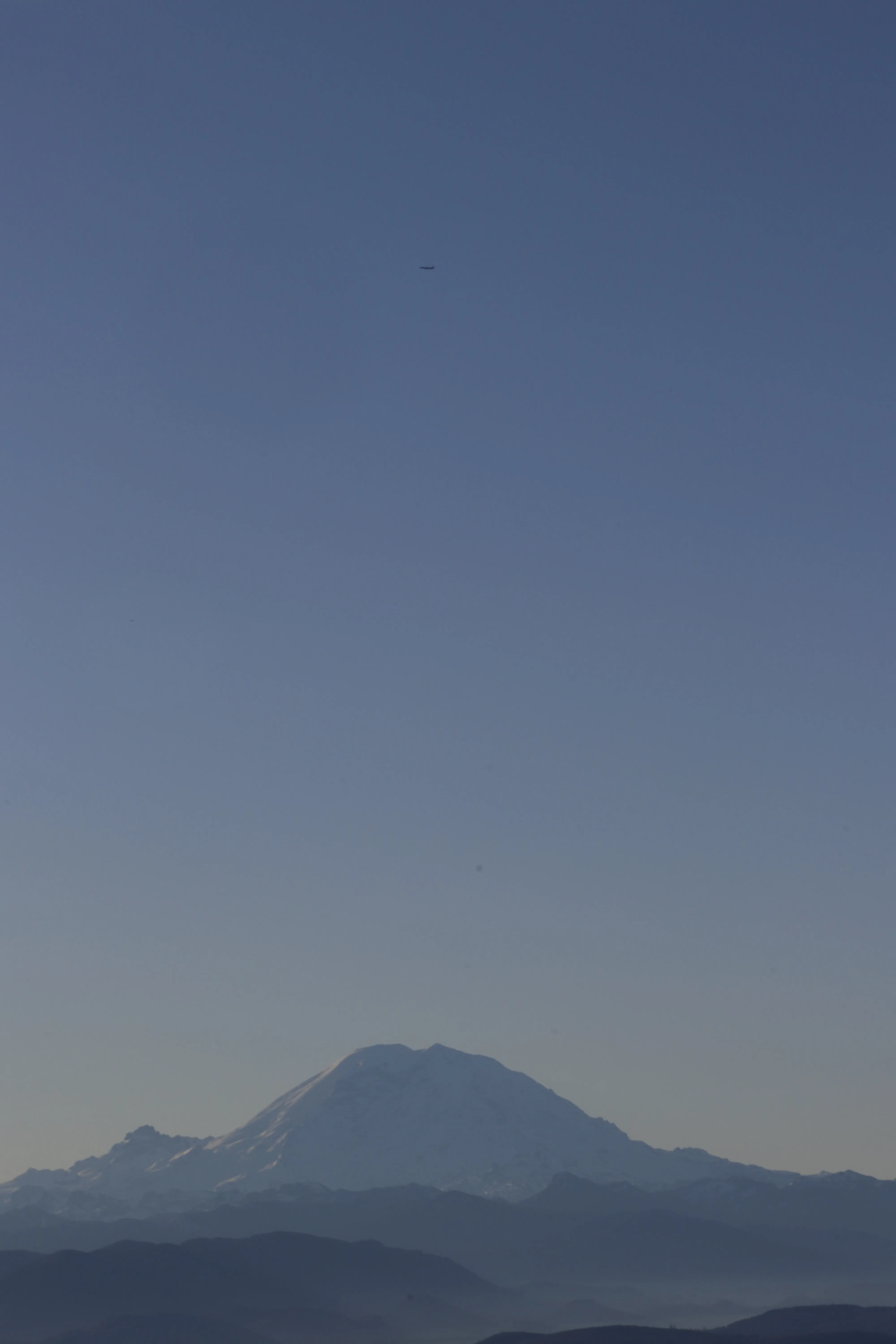
The goal is to find the exact spot where this was taken.
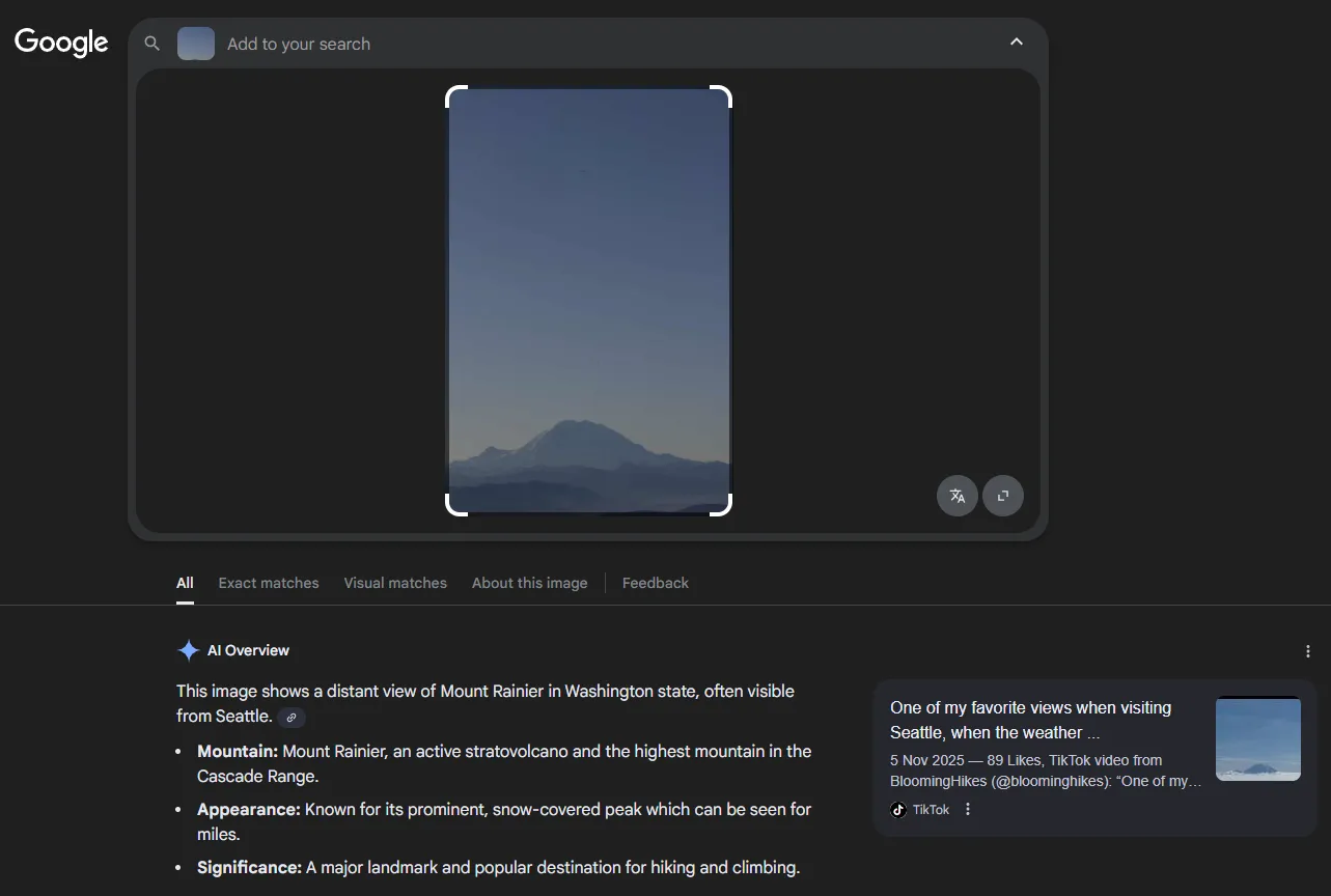
By guessing the mountain name, and knowing the organizers are in Washington (USA), it should be Mount Rainier. But if you do not recognize the place, reverse-searching the image with Google Lens gives the solution.
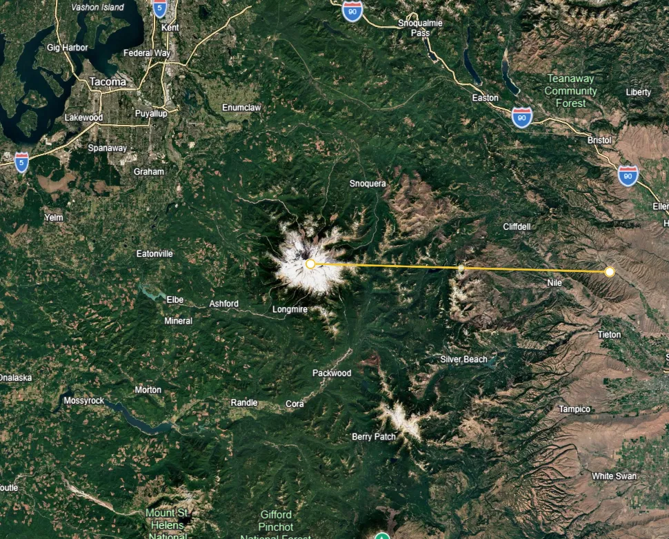
Now comes the hardest part: finding the shooting location. I am not a photographer, but estimating the distance we are talking about 50 km (31.1 mi) to 100 km (62.1 mi). To give you an idea, we are looking at an area of roughly this size (the yellow line measures 75 km [46.6 mi]).
What we will do is study which side of the mountain the photo was taken from. First, we analyze the peaks to understand the orientation.
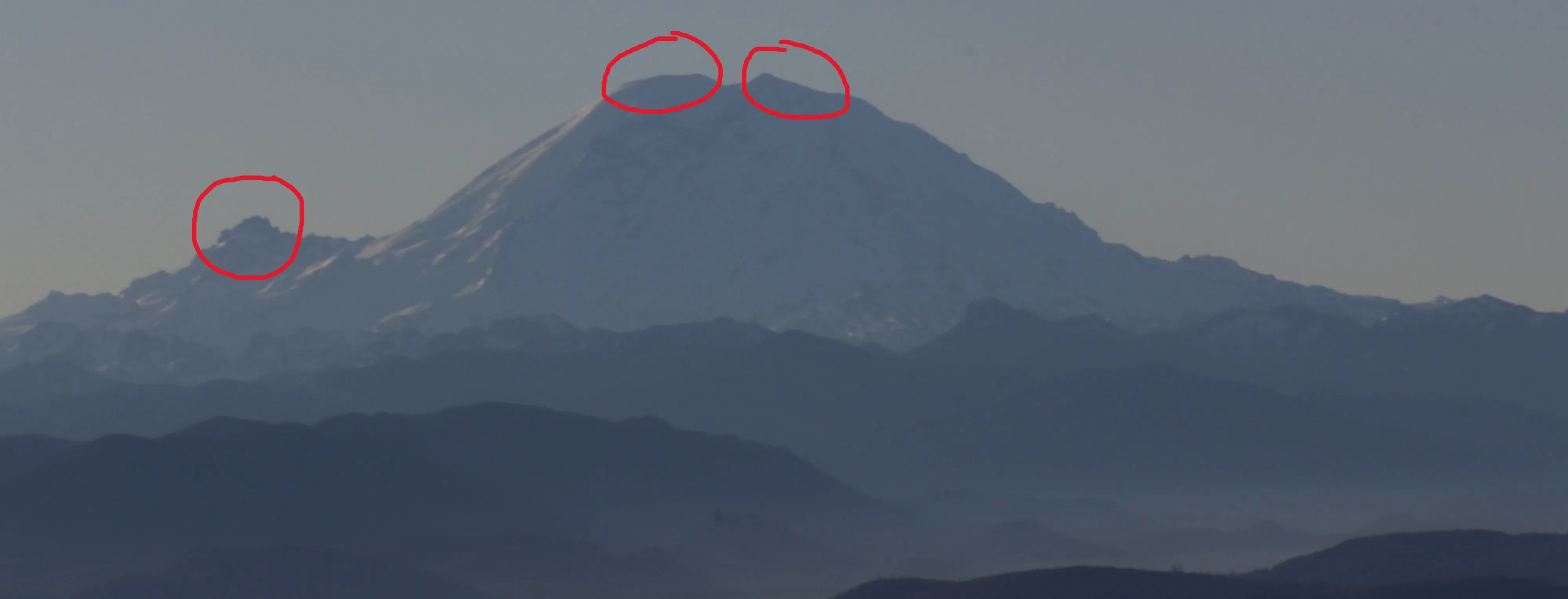
In the photo there are three important peaks, one of them on the left.
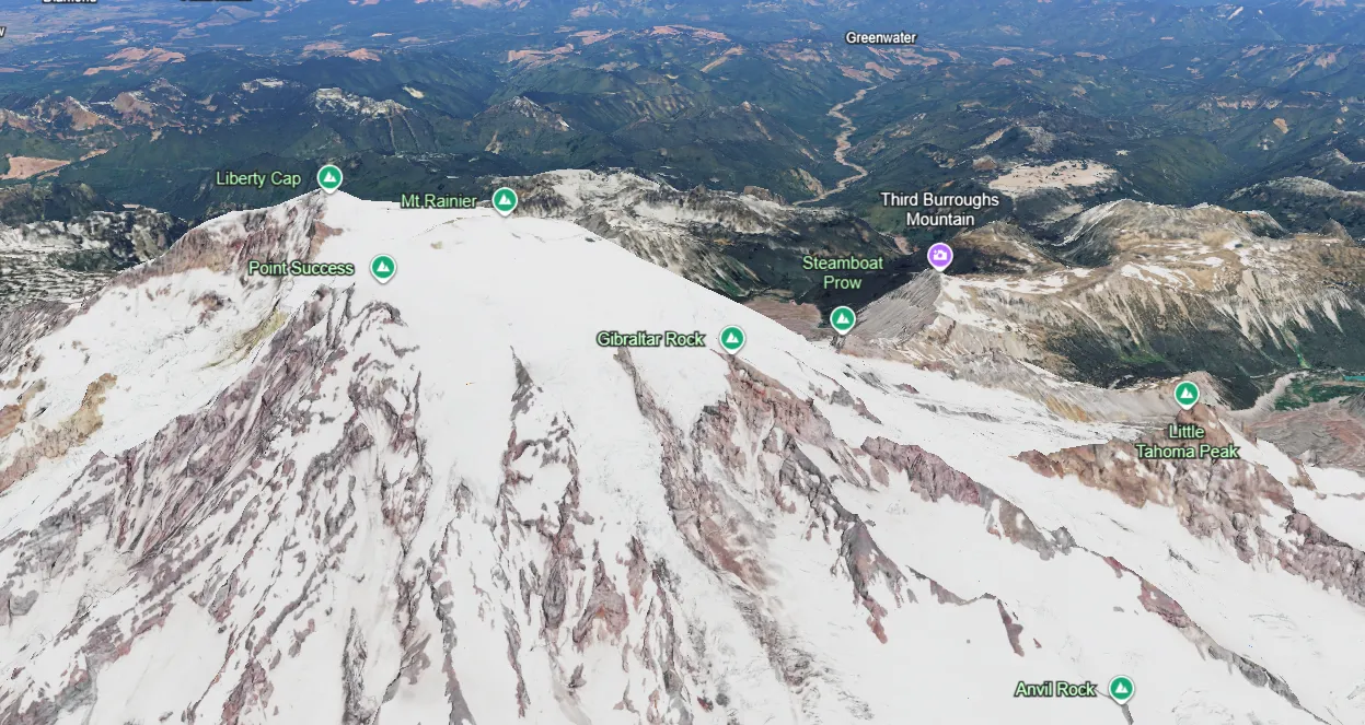
That rocky peak is Little Tahoma Peak. If we look toward the north, we notice that this peak sits on the eastern side of the mountain. So we have the exact clue that the photo was taken roughly from the south. If we want better precision, we need to look at the two highest peaks of the mountain. The central peak appears slightly behind the right peak.
Looking at the compass, we know it points exactly south. But the problem remains: finding the exact point within a roughly 100 km radius. The next step is to analyze the other mountains in the foreground.
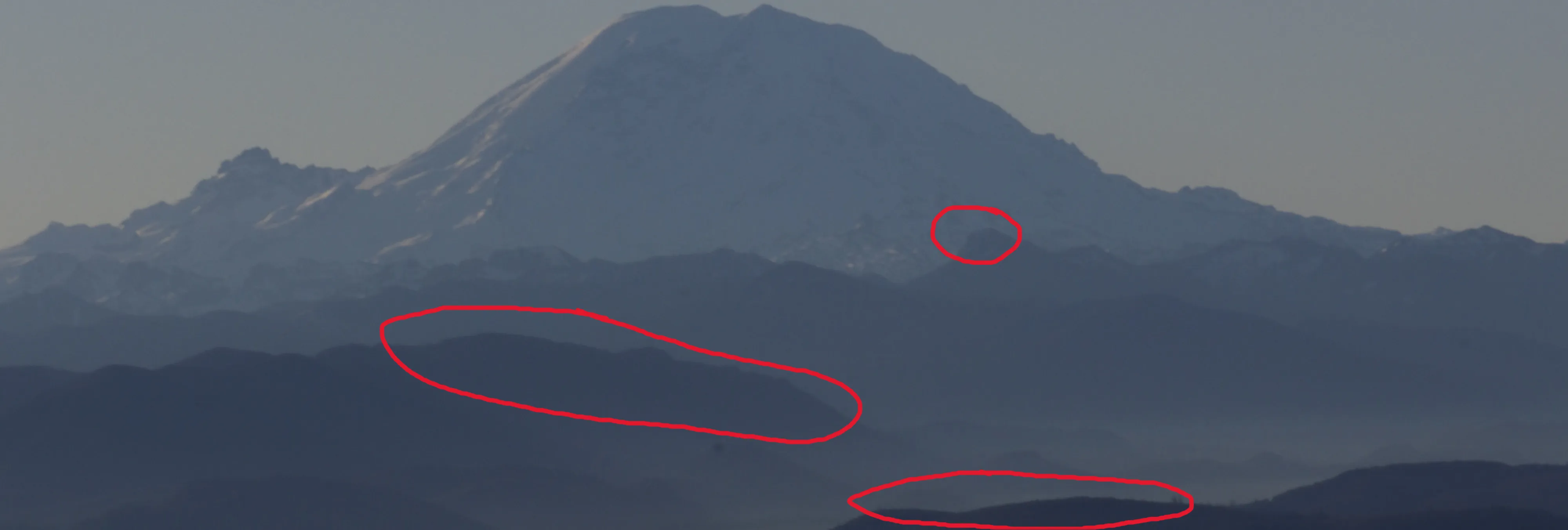
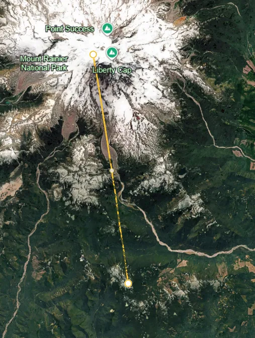
The first step was to look for the peak in the upper-right (the small circled one). This takes some patience and a good eye. I roughly estimated the distance between that point and Mount Rainier at about 15-20 km. In that area there is a small mountain range exactly around 20 km out.
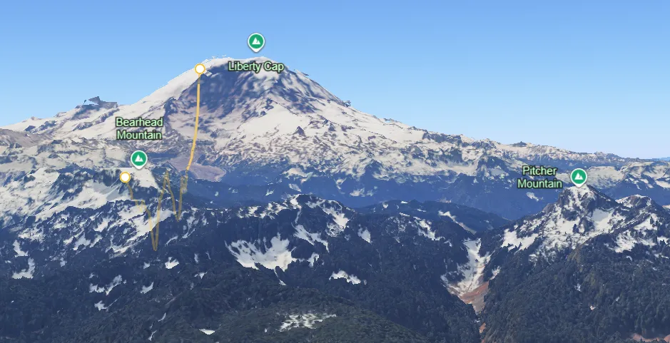
From the photographer’s perspective, I could already spot Pitcher Mountain.
Now one thing I did was check the perspective from Pitcher Mountain, looking toward the far ridge and pointing roughly toward the photo direction. To do this I used peakfinder.com, which shows mountain silhouettes and heights from a chosen viewpoint.
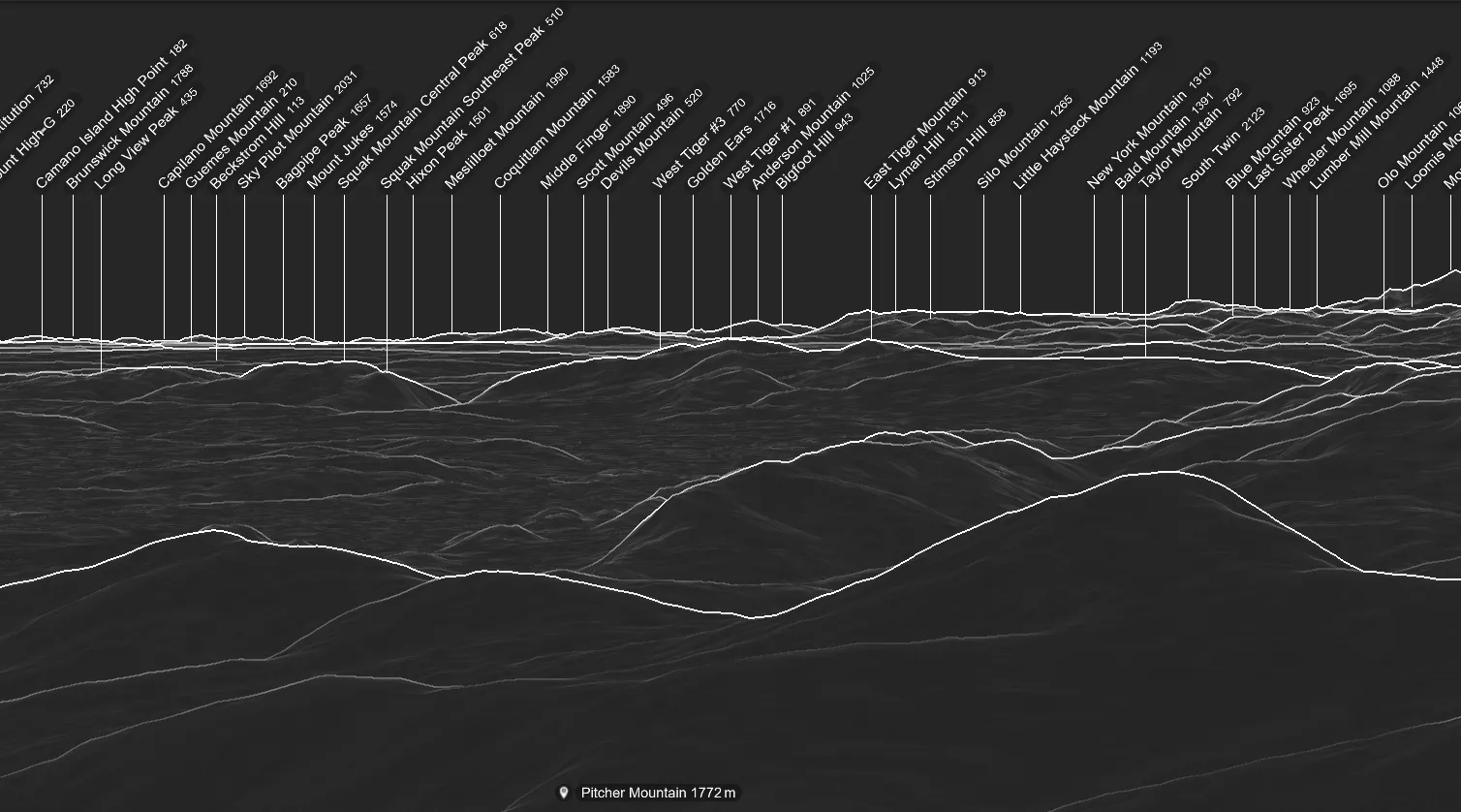
If we compare it mirrored, it is a perfect match.
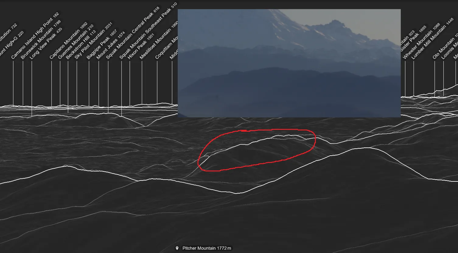
Zooming in even more, we believe the exact spot where the photo was taken is Tiger Mountain State Forest.
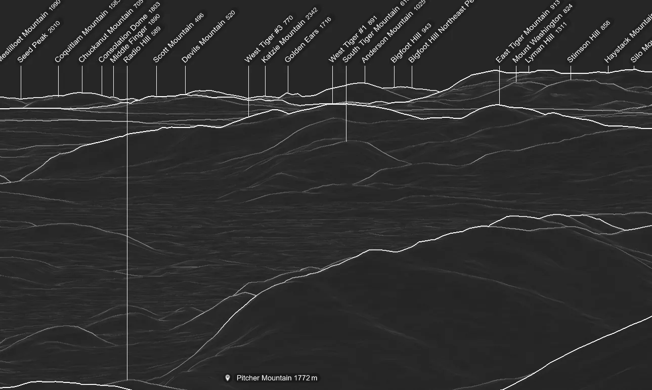
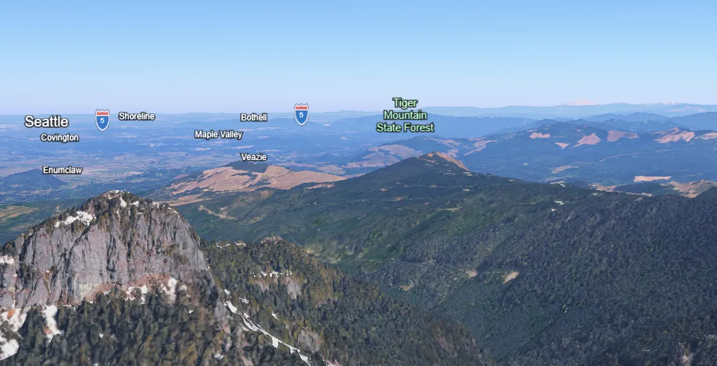
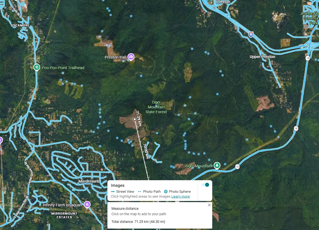
Now, if you want, you can check every single dot to find the exact perspective of where the photo was taken. I kept using peakfinder.com to align mountain profiles with the photo.
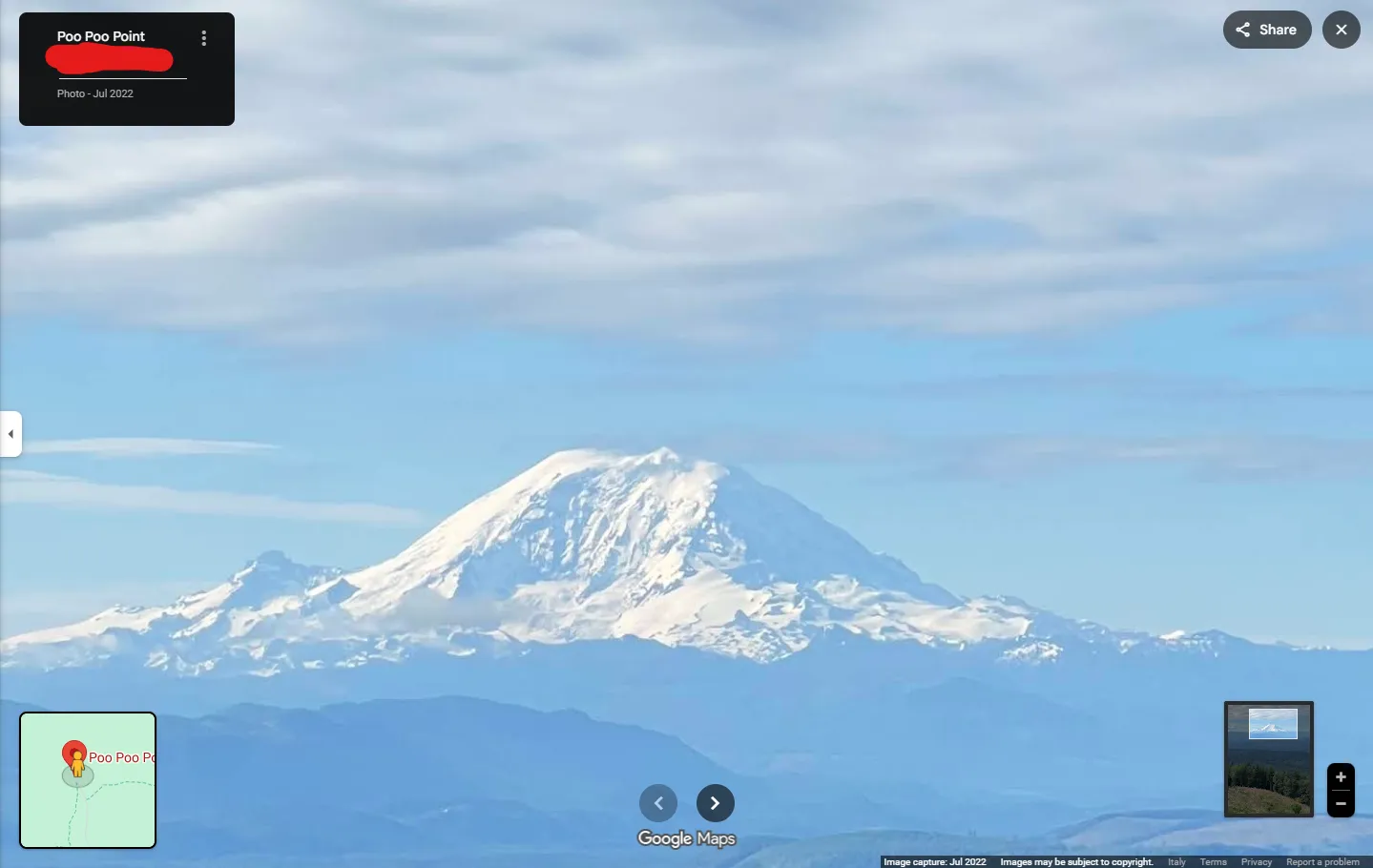
In the end, the exact point where the photo was taken is Poo Poo Point (💩).
bkctf{poopoopoint}
Eye on the Sky
The next challenge asks us to find both the flight number of the airplane passing overhead and the baggage carousel number at the destination airport.
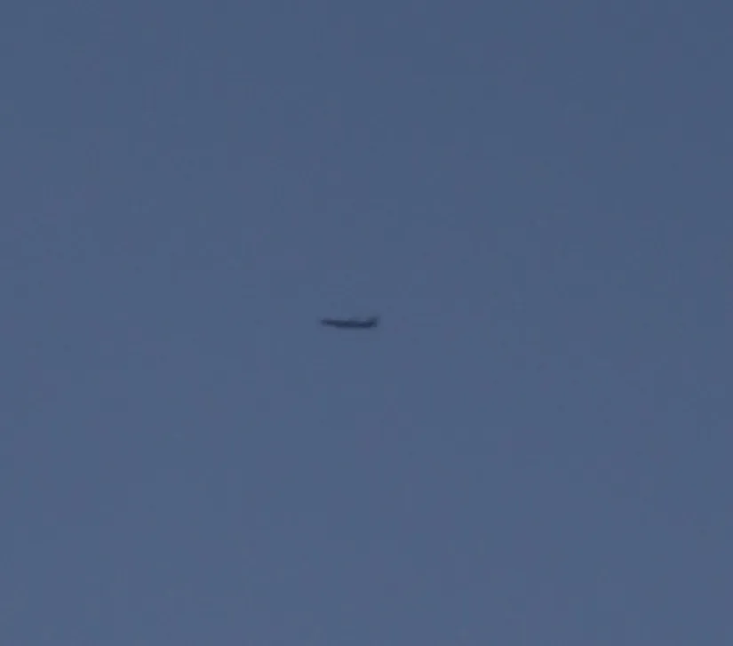
Looking at the direction, the plane is heading east.
But the problem is finding the date and time when the plane passed that day.
What we can do is check the photo metadata to see when it was taken.
By uploading to fotoforensics.org (or in Windows file properties) we get the time from the Canon: Create Date: 2026:01:19 09:18:43.
If you do not have a Flightradar24 subscription to view flight history, I recommend http://globe.adsbexchange.com/.
Click Replay and set the date and time (UTC format, 17:18).
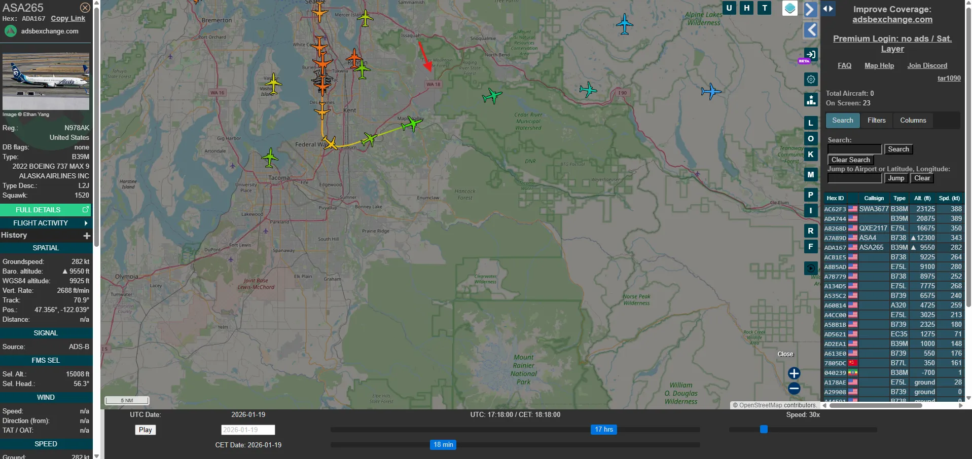
The flight we care about is AS265 because it is the only plane passing over the photographer around that time.
It is operated by Alaska Air, and flies Seattle (SEA) $\rightarrow$ Chicago-O’Hare (ORD).
After some searching on Google, the airline site provides not only flight status, but also which baggage carousel the bags will arrive at.
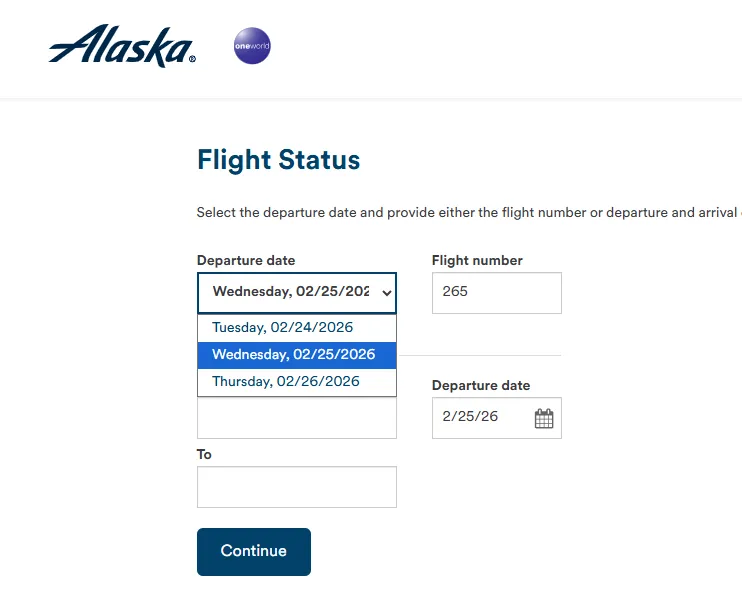 Unfortunately the site only keeps history for 2 days, so we rely on the Wayback Machine.
Luckily the author was kind enough to save a snapshot from that day (love you ❤️).
Unfortunately the site only keeps history for 2 days, so we rely on the Wayback Machine.
Luckily the author was kind enough to save a snapshot from that day (love you ❤️).

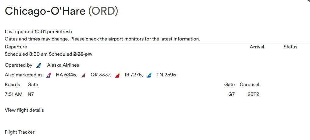 The carousel is 23T2.
bkctf{AS265-23T2}